Excavation and Survey of Archaeological Sites
Excavations are at the very core of SapienCE, and the material excavated form the basis of the many fields of investigation that makes up this project. Our focus is on excavating three Middle Stone Age coastal sites dating from 100 000 to 50 000 thousand years ago in the southern and eastern Cape of South Africa.

Main content
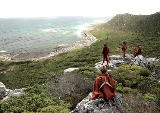
The three Middle Stone Age sites are Blombos Cave, Klasies River main site and Klipdrift Shelter. The excavated archaeological levels have yielded well-preserved, undisturbed marine and terrestrial fauna and artefacts associated with Homo sapiens. Further surveys for sites in this region are planned.
3D recording
Excavating entails slow, meticulous and painstaking removal of soils in layers using a brush and a small trowel in 50x50cm square areas to expose the fragile artefacts and food remains left behind by humans over 50 000 years ago. Each artefact is recorded in 3D using a total station and the details of each layer (such as soil colour, texture, contents and slope) are recorded using a state of the art, specially designed for conditions at our sites, digital recording system. The soils are sieved through 3mm and 1.5mm mesh sieves to retain all the small pieces that were not plotted. All the materials are carefully curated.
Maintain and retain
When excavating complex and densely packed archaeological sites, a good understanding of where the material originates from and how it relates to each other is very important. It is as important for the unique artefacts as for the sediments that surround them and the walls and boulders that make up the caves and rock shelters. Only by having a complete picture can we try to understand how the living spaces of the past peoples were used and organised. In order to ensure that we maintain and retain a complete record of the site as we take it apart, we record the position of all the artefacts we identify and collect as well as all other samples and tests that we do.
In addition, we record uncovered surfaces and important features using a 3D documentation technique called digital photogrammetry. It provides photorealistic 3dimentional surface models with sub centimetre accuracy.
Studying the greater picture
All the various recorded artefacts, samples and surfaces uncovered over many years of excavation make up the puzzle pieces of our archaeological sites. Unlike conventional puzzle pieces, we would have no way of putting them back together if we didn’t record the position we found them in. Using this method, we are able to confidently combine them and study the greater picture that they form. In turn, this allows us to zoom in and analyse different moments in time of the caves’ occupation history or specific areas of the site.