New course in Practical Skills in Remote Sensing and Spatial Analysis
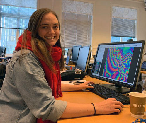
Fifteen students from across the University of Bergen are now working on their final assignments following ten intensive days of teaching.


Main content
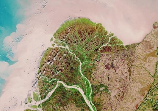
Gidske Leknæs Andersen and Benjamin Aubrey Robson have been teaching a wide range of remote sensing methods using all kinds of aerial and space borne sensors. Students have learned how to download and pre-process imagery, conduct analysis of time series of many images, create Digital Elevation Models (DEMs) from aerial photographs and satellite images in order to work out glacier thinning rates, clean and filter LiDAR point clouds, and measure land subsidence from radar interferometry.
Two guest lecturers, both experts in their fields also contributed to the course, Nils Erik Jorgensen from TerraNOR, Oslo, taught on how to classify imagery using object-based analysis, while Sonam Wangchuk, from the University of Zurich, taught how to map lakes in his homeland of Bhutan automatically using radar data.
The students are now working on their individual projects and will present posters of their work in the first week of June.
Course description
GEO316 Practical Skills in Remote Sensing and Spatial Analysis