News archive for Environment and Landscape Geography
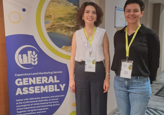
The inaugural General Assembly of the Copernicus Land Monitoring Service (CLMS) marked a significant milestone in the realm of Earth Observation (EO), particularly in the field of Remote Sensing and Geographic Information Systems (GIS).
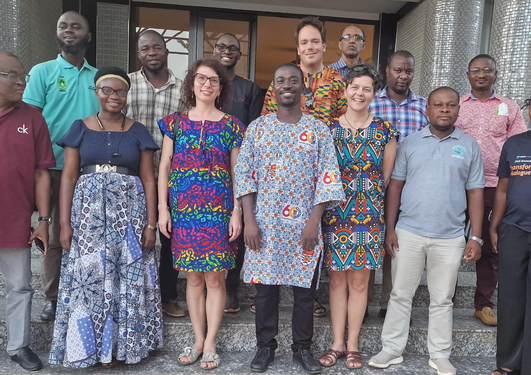
A comprehensive UAV Data Utilization Workshop Successfully Empowers Trainers in Agriculture and Environmental Monitoring in Ghana, Africa.
In his master's project Gamuchirai J Mukura is doing a remote sensing-based Land Degradation Assessment to inform sustainable Development Goal 15.3.
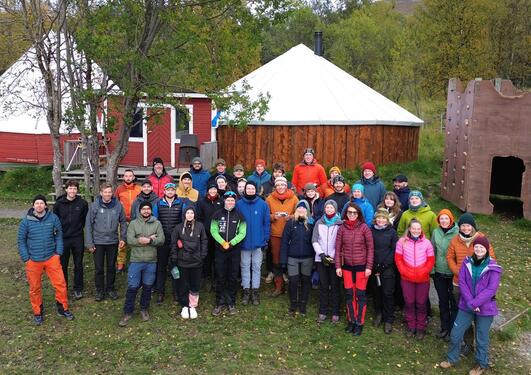
University of Bergen Professors, international Ph.D. students, and UiB’s Master students Dive into Cryospheric Monitoring at an Elite Summer School in the Lyngen Alps.
ECOPOTENTIAL is a large European-funded H2020 project that focuses its activities on a targeted set of internationally recognised Protected Areas, blending Earth Observations from remote sensing and field measurements, data analysis and modelling of current and future ecosystem conditions and services.
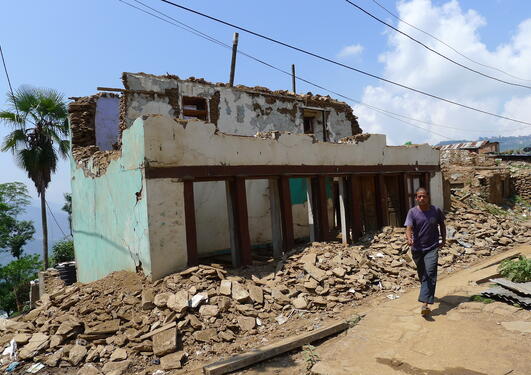
On the 25th and 26th of April and 12th of May Nepal was struck by massive earthquakes. One year later we wanted to explore which farming systems fared better or worse after this natural disaster.
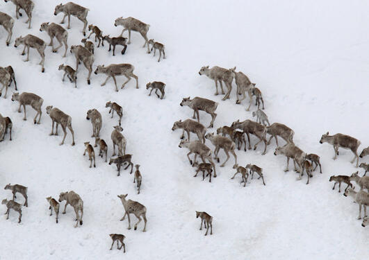
The distribution of a species is an inherent part of its ecology. Species distribution is essential for a successful species’ management.
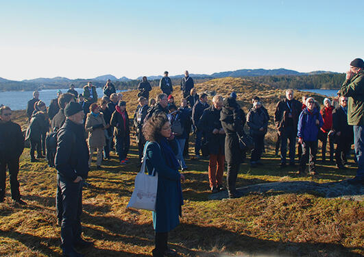
The UNESCO-conference with the title «Using natural and cultural heritage in sustainable development» is taking place at UiB 24th -26th of March. 150 delegates from a multitude of nations are participating.
- June 2024 (1)
- December 2023 (2)
- September 2023 (1)
- January 2018 (1)
- June 2016 (1)
- September 2014 (1)
- March 2014 (1)