Decadal scale volume changes of Folgefonna ice cap
Hovedinnhold
Project description
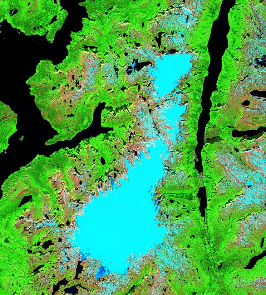
This project will be focused on computing mass balances and volume changes of Folgefonna ice cap and specific outlet glaciers (to be decided during the project) using remote sensing data. The results of the project will be useful for validating and calibrating glacier modelling outputs from an ongoing project that aims to simulate the future of Folgefonna and its impact on hydropower production in the region, led by a PhD student
and potential co-advisor.
The student will create digital elevation models (DEMs) from a range of historical and contemporary sources, such as topographic maps, archival aerial photography from Kartverket, stereo satellite imagery, and airborne LiDAR. The master student will have the opportunity to order their own high-resolution satellite image through the European Space Agency (ESA) third party program. There is also the potential for using UAVs for small sections of particular outlet glaciers. The DEMs will then be filtered, co-registered, and compared in order to derive glacier surface elevation changes which in turn will be used to compute mass changes and mass balances. No prior remote sensing experience is needed as all necessary methods will be introduced through courses at the department, however experience working with GIS or python programming would be an advantage.
Proposed course plan during the master's degree (60 ECTS):
GEOV205
GEO316
GEOV325
Additional courses will be planned together with the student
Prerequisites
GIS or Python experience is an advantage
Field- lab- and analysis
The project will be primarily be remote sensing based, as such the work will involve generating DEMs from historical aerial photographs and comparing them to other datasets. The majority of the analyse will therefore be computer based, although drone field work on particular outlet glaciers such as Bondhusbreen is a possibility.
Supervisors
Associate Professor Benjamin Robson
Associate Professor Andreas Born