Extending the geological baseline of natural North Atlantic atmospheric climate variability
Hovedinnhold
Prosjektbeskrivelse / Project description
By controlling both temperature and precipitation patterns across the continent, the prevalent Westerly Winds truly are Europe`s weather-maker. Their strength and position are largely controlled by the pressure difference between the Icelandic Low and Azores High. Indeed, variations in this gradient drive the dominant mode of natural climate variability across Europe – the so-called North Atlantic Oscillation or NAO. During a positive NAO phase, Norwegian weather is generally wetter and stormier. In contrast, when the NAO is negative, conditions are drier and calmer here but wetter in the Mediterranean. Evidence from geological records suggests that these variations intensify during periods of extreme climate change like today. Such shifts can have major societal consequences by affecting crop yields, hydropower generation and risks related to extreme weather events. But despite these impacts, we struggle to robustly predict the impact of future changes in the position and strength of the Westerly Winds owing to a lack of baseline data.
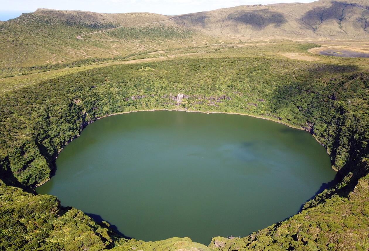
This project seeks to close this knowledge gap using a unique geological archive from the most poorly investigated NAO node, the Azores High, which is positioned over a group of islands with the same name. During a field campaign in 2020, a finely laminated sediment sequence was extracted from Lago Negra – one of the archipelago`s volcanic Maar lakes. The successful applicant will apply a range of new techniques to reconstruct past climate variability with unmatched precision. Key examples include CT and hyperspectral scanning to respectively detect the imprint of geohazards (extreme precipitation events but also earthquakes or volcanic eruptions) and the abundance of molecular fossils (biomarkers) indicative of past temperature or precipitation. The latter analysis will introduce the candidate to a number of remote-sensing approaches.
The working hypotheses (questions) of this project are I) can we use high-resolution scanning methods to resolve past change on human-relevant timescales (years to decades) from these laminated sediments?, II) can we fingerprint key dimensions of Westerlies or NAO-type change, and III) can these findings improve our understanding of long-term shifts in North Atlantic atmospheric circulation?
When completed, this project provides a unique long-term context for climate change across Europe. In addition, these data have significant potential to improve our understanding of regional hazards like volcanic eruptions or earthquakes. Also, planned work will enable the candidate to become familiar with emerging techniques that can revolutionize paleoclimatology (e.g. hyperspectral scanning) and help secure future employment (e.g. remote-sensing)- We foresee publication of this research. Finally, collaboration with international (Portuguese) institutes will provide a unique opportunity to strengthen her/his credentials.
Proposed course plan during the master's degree (60 ECTS):
GEOV302 - data analysis in Earth Science (10 ECTS)
GEOV322 - Master Quaternary Field Excursion (5 ECTS)
GEOV326 - Quaternary environments etc. (10 ECTS)
GEOV342 - The geochemical toolbox (10 ECTS)
SDG213 - Causes of Climate Change (5 ECTS)
GEOV360 - Advanced Clastic Sedimentology (10 ECTS)
GEOV331 - Palaeoceanography (5 ECTS)
GEOV300 - Selected topics in Geoscience (5 ECTS)
Felt- lab- og analysearbeid
Sedimentological analyses of the investigated sediment core in EARTHLAB. These will be discussed with the candidate, but likely include Hyperspectral and CT scanning. In addition, the project will have a remote-sensing component focused on the analysis of (hyper)spectral data.
Supervisors
Dr. Willem van der Bilt, GEO UiB
Associate Professor Ben Robson, GEO, UiB