Land
LiDAR
Hovedinnhold
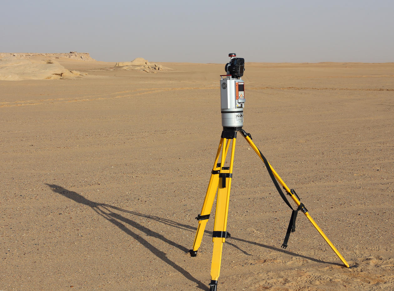
Terrestrial laser skanner (LiDAR)- Riegl VZ-1000
The Riegl VZ-1000 Terrestrial laser scanner (LiDAR) is a lightweight (c.10 kg) 3D scanner that offers long range measurements (up to 1400m), with a field view up to 100° x 360°. The scanner is mounted with a Nikon D800E digital camera for integrated high resolution calibrated images, and internal GPS, compass and tilt sensors to give orientation and position. Data can be processed and analysed using the RiSCAN Pro software.
References:-BUCKLEY, S.J., HOWELL, J.A., ENGE, H.D., and KURZ, T.H., 2008: Terrestrial laser scanning in geology: data acquisition, processing and accuracy considerations, Journal of the Geological Society, 165(3): 625-638.
Foto/ill.:
Simon Buckley
13.11.2017