First report from Jan Mayen: things look promising
CGB PhD student Eirik Gjerløw is stationed on Jan Mayen Island for the coming month. This is his first field journal post.

Main content
The trip from Bergen to Jan Mayen went fine and finally after 3 days we could see the Island, it was night when we got there but Beerenberg decided to show itself through the clouds. I am accompanied by Gard Christoffersen, from Stavanger. He is a 2nd year geophysics student at UiB.
(click on images for a larger version)
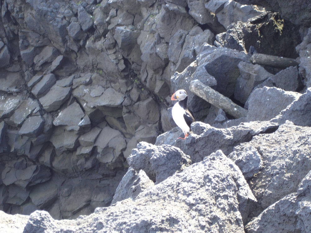
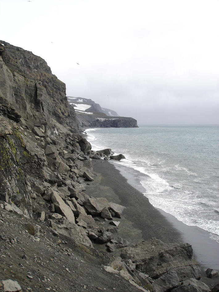
It would still be a few hours before we got to go to the island since we needed to land on the other side. But when we got onland we were picked up by people from Olonkinbyen. We were taken to the station and dropped off our gear there before we were taken on a sightseeing trip along the eastern side of the island. There we met some of the local fauna.
After this we went back to the station and started preparing for the days ahead. Learn more about the project.
Day 2:
On the second day of our stay we went to Ulla, a small cabin on the northern part of the island. From there we went to Kapp Håp where we were hoping to find garnets since we had seen some pictures that seemed to indicate that there could be garnets there.
But unfortunately these turned out to be Iddingsite (altered olivine), however there were lots of other interesting rocks in the area so the trip was not in vain. On the trip back to the cabin we also discovered a tephra layer (volcanic ash) that could be interesting to compare with what we find in the sediment cores we will gather when we are picked up from Jan Mayen.
Day 3:
For the third day we decided to head upwards a little in the lower slopes of Beerenberg. Working in the lower slopes we found several more tephra layers that certainly will be useful in my studies. On the way we also sampled a small lava flow.
Day 4:
Since we were getting picked up at around 3 to go back to the station we went for a shorter trip, we started by walking around the sea eroded edges of an old lava flow and sampling and doing measurements of it. When we had finished this we headed toward the cabin for lunch but we got a little distracted and found an excellent location for doing a soil profile (for finding tephra layers).
However, as the time went by and the hole just kept getting deeper and deeper we had to give up getting to the bottom of it since we were getting a lift back to the station. At the time we left the hole was just under 2 meters deep. But we plan to go back and extend it even further as this hole will be a key profile in identifying different tephra layers.
Stay tuned for more updates!
Check out the other reports: Home First Second Third Fourth Fifth