In the Footsteps of the Lindås Project
February 21-22 the original model areas of the Lindås project were revisited after 50 years, in preparation for an upcoming re-sampling to assess the rate and direction of land-use change, nature’s benefit to people and landscape multifunctionality.

Main content
The Lindås project was one of UiB's first big interdisciplinary research projects studying the coastal landscapes of Lindås (today Alver) and Austrheim municipalities. Led by professor emeritus Peter Emil Kaland, the project included 19 researchers and students from multiple science disciplines: natural, social, agricultural, and history/cultural history. A great deal of research was conducted at the ten original model areas; all from climatology, soil chemistry and biology, heathland vegetation history and invertebrate fauna, to archeology, historical demography and ethnology were studied during the project.
Through the new NFR-funded project BIOSPHERE, led by UNESCO Chair Inger Måren, new life is being breathed into the Lindås project. One of the work packages in BIOSPHERE will analyse the rate and direction of land-use change, nature's benefits to people and landscape multifunctionality - all by re-sampling parts of the Lindås project. This task has been given to newly employed PhD candidate Ieva Rozite-Arina, who will focus on land use change and vegetation.
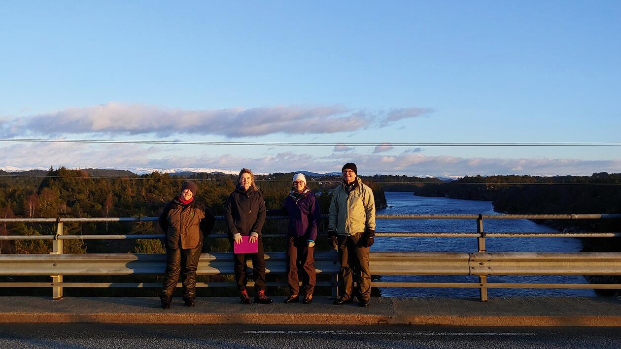
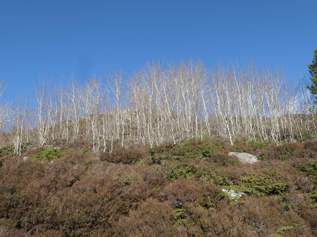
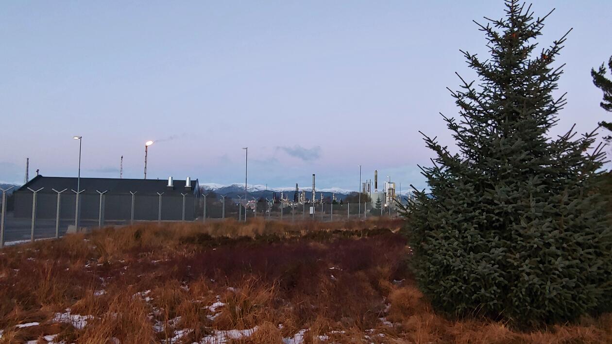
Accompanied by supervisors Inger Måren and Amy Eycott, professor emeritus Peter Emil Kaland and project technician Silje Östman, Ieva had her first encounter with the original ten model areas of the Lindås project: Litlelindås, Årås, Rebnor, Fonnes, Kolås, Lindås, Fjellsbø, Hundvin, and Seim. Previously, these areas were in large part traditional farmland with grazing animals, but there is some variation in how land use in the different model areas has changed since the 1970s. Today the outer coastal areas are mostly overgrown coastal heathlands taken over by juniper and pine due to the lack of grazing sheep and traditional heath burning. Some of the inner coastal areas have also been abandoned by farmers, whereas others are still kept and grazed to a certain degree. The biggest visible change was at Kolsås, which in the last 50 years has been turned into a big residential area.

Ieva Rozite-Arina and Peter Emil Kaland. Peter Emil sharing knowledge and stories for the next generation of scientists in Nordhordland.
Peter Emil, soon to be 80 years old, gladly shared all kinds of history from the model areas, knowledge of the Nordhordland culture and traditional land management, and stories from the years he spent working with the project. Happy for the opportunity to pass on information and excited that younger generations are showing interest in his and his colleagues' work, Peter Emil seemed pleased with the excursion. So were the rest of the team, now with a better understanding of the Lindås project and the original model areas.
During the last few months, Peter Emil has been digging out and sorting through boxes and boxes of the old Lindås project material - all in paper format. Ieva and her supervisors are following up by contacting previous participants of the project to see if there are even more old data available. Now, after having visited the model areas, Ieva faces the big task of deciding what and how to resample the project in the best possible way. Luckily, Peter Emil is engaged in the process and available to give input and advice.