New UoB-drones available for research
The Department of Earth Science has in recent months acquired several state of the art drones for performing high-resolution mapping in 2D and 3D.

Main content
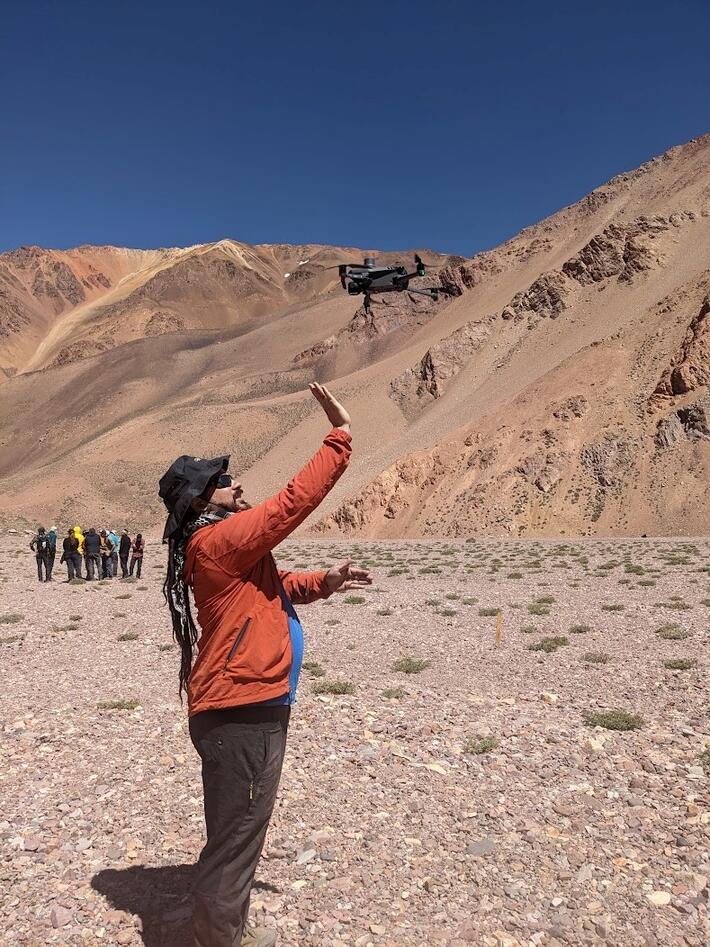
The Department has in recent months acquired several state of the art drones for performing high-resolution mapping in 2D and 3D. We have two DJI Mavic 3Es which are light, easy to use, and connect to the national differential GPS network allowing for centimetre scale accurate mapping. We also have a Wingtra GEN II which is a fixed wing aircraft yet takes off vertically allowing it to cover a much larger area and is equipped with a multispectral camera. We also have a few smaller DJI drones suitable for small scale mapping. Please get in touch with Benjamin Robson (benjamin.robson@uib.no) for any enquiries about using the drones in research or teaching.