Avalanches in a warmer wetter future – a case study from the Albanian Alps
Main content
Project description
Avalanches already rank among the most dangerous and destructive geohazards in Norway. On-going climate change is set to increase these risks: warmer temperature will trigger earlier and more intense spring melt while wetter conditions may substantially increase snowfall. However, the exact impact of these trends remains difficult to predict. Long-term baseline data from analogous environments are incredibly valuable to help researchers, consultants and decision-makers understand this uncertain future.
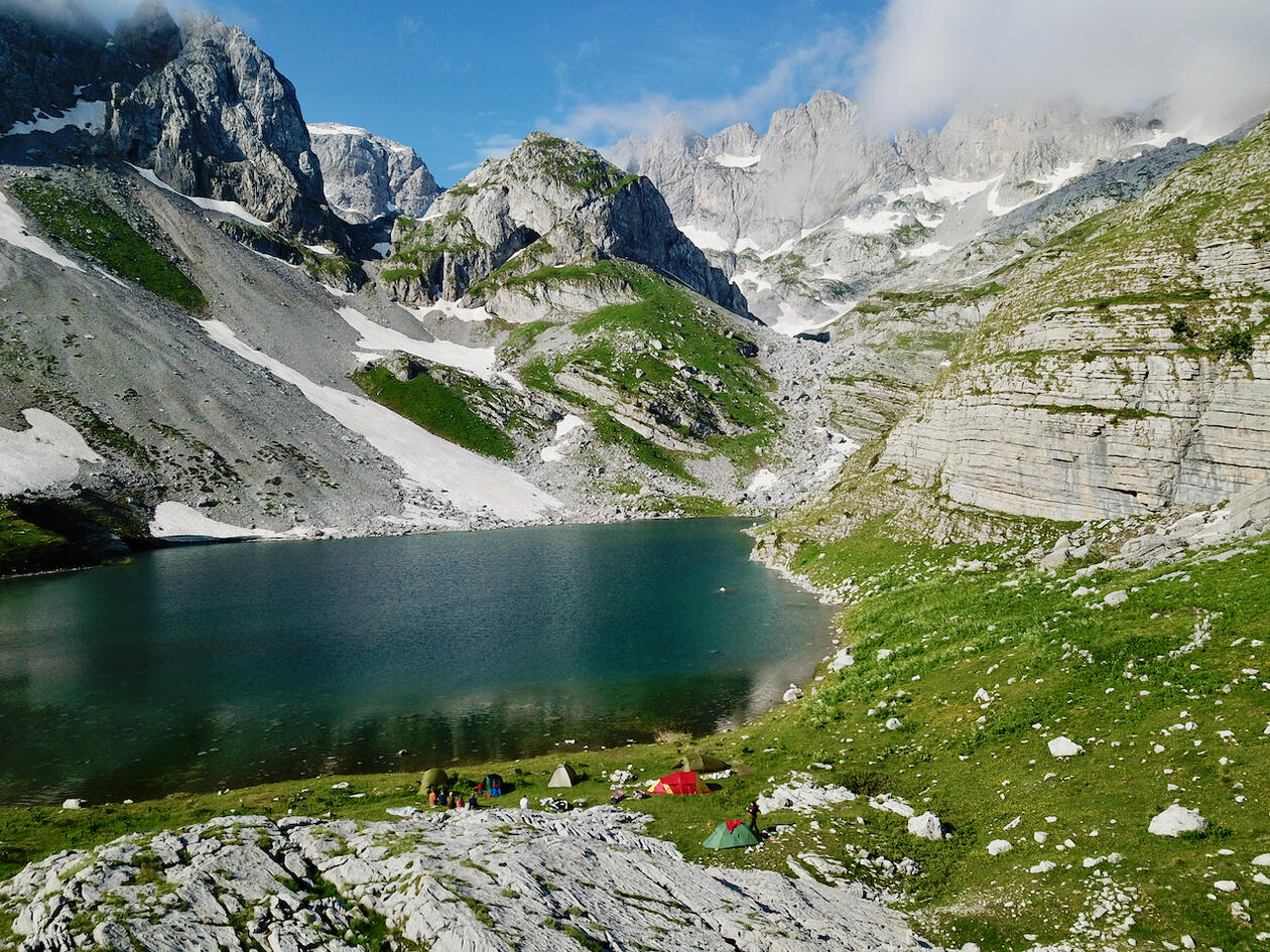
This project will do so by investigating the remote Albanian Alps. Here, less than 100 km from the beaches of the Mediterranean, thousands of millimetres of precipitation mostly fall as snow as moist cold air cross these 2500 m high mountains. Slopes are so steep that intense snow avalanching piles up enough snow to sustain Europe`s southernmost glaciers. This combination of steep mountainous terrain and a mild snowy climate make the Albanian Alps a highly suitable natural laboratory to better understand the frequency and impact of avalanching in future Norway.
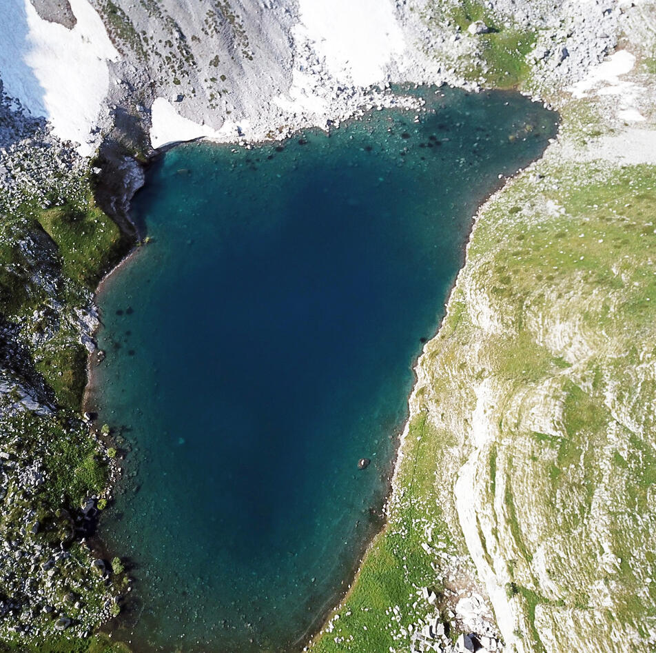
The successful applicant will get the opportunity to contribute to this exciting and relevant research topic by analyzing a sediment sequence from a small lake. This basin, called Buni Jezerce in Serbian, is well-suited to capture avalanches as it is surrounded by steep slopes and primarily fed by snow. This project will focus on an existing core from this basin, which was extracted in 2019: the sediments show great promise as they are undisturbed and finely laminated. We do, however, envision another field trip in 2020 or 2021 to map the area. The successful applicant will apply a range of novel sedimentological approaches like CT scanning to unravel the geological avalanche history recorded in this unique archive. In addition, geological interpretations will be strengthened with observational data like satellite images, bathymetric data and drone models to better understand the processes that affect the lake.
The working hypotheses (questions) for this project are I) how can we fingerprint signatures of past avalanching?, II) do reconstructed changes in the frequency/magnitude of avalanching coincide with regional climate shifts?, and III) what can this baseline study tell us about future avalanche risk?
When completed, this project provides a valuable environmental context for change in a poorly studied region that has shaped European history. It will also generate important knowledge for achieving a sustainable future (i.e. building skills and knowledge relevant for UN’s sustainable development goals). In addition, it will enable the candidate to become familiar with a range of tools that will increase her/his chances for future employment (notably GIS). We foresee publication of this research. Finally, collaboration with international (UK-based) institutes will provide a unique opportunity to strengthen her/his credentials.
Proposed course plan during the master's degree (60 ECTS):
GEOV302 - Data analysis in Earth Science (10 ECTS)
GEOV322 - Master Quaternary Field Excursion (5 ECTS)
GEOV326 - Quaternary environments etc. (10 ECTS)
GEOV342 - The geochemical toolbox (10 ECTS)
SDG213 - Causes of Climate Change (5 ECTS)
GEOV360 - Advanced Clastic Sedimentology (10 ECTS)
GEOV325 - Glaciology (5 ECTS)
GEOV300 - Selected topics in Geoscience (5 ECTS)
Field, Lab- and analysis in thesis
Sedimentological analyses of the investigated sediment core in EARTHLAB. These will be discussed with the candidate, but likely include XRF and CT scanning. In addition, the project will have a remote-sensing component.
Supervisors
Dr. Willem van der Bilt
Professor Jostein Bakke